2026 Housing Index
The Urban Land Institute (ULI) and research partner RCLCO, released the ULI Terwilliger Center for Housing’s 2026 Housing Index, a data-rich tool measuring affordability, connectivity, racial disparity, and growth across…
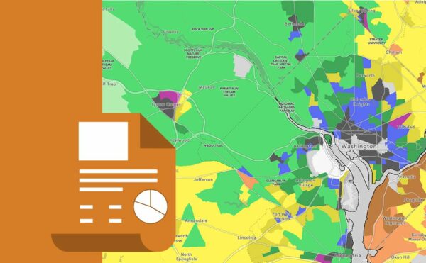
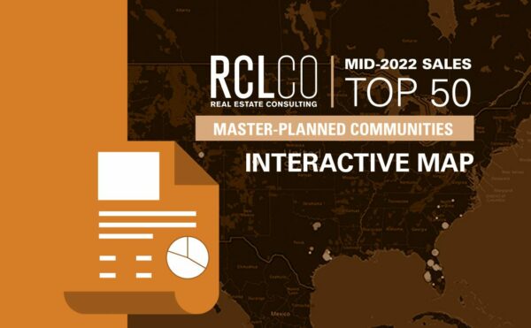
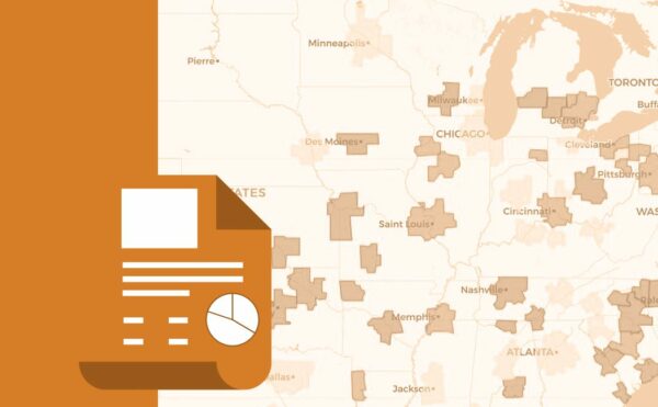
RCLCO has developed many different visualization tools that enable you to better interact with regional data regarding types of neighborhoods, area rankings based on product types, and the impacts of transit and mobility on pricing. Click on and explore some of these maps below.